Optech’s latest and most powerful marine mapping solutions efficiently generate bottom 3D topo/bathy information for coastal zones, especially in turbid and muddy water conditions with the powerful new CZMIL Nova. This smaller, lighter, lower-power consumption model leverages new laser advances and operates more efficiently with simplified maintenance, but still delivers data up to 80 m deep in clear conditions and penetrates further than any other system in challenging waters.
Besides a 58% reduction in operational costs and simpler installation, new functions include the elimination of data gaps in the near-shore zone. The most validated system available, government agencies in several countries use Optech CZMIL for high-priority projects. In addition, the new CZMIL Project Program has opened access to the most advanced system in the world for smaller projects without a single hardware purchase, providing the system, fully trained personnel and the HydroFusion processing software for everything from small surveys to large-scale mapping campaigns.
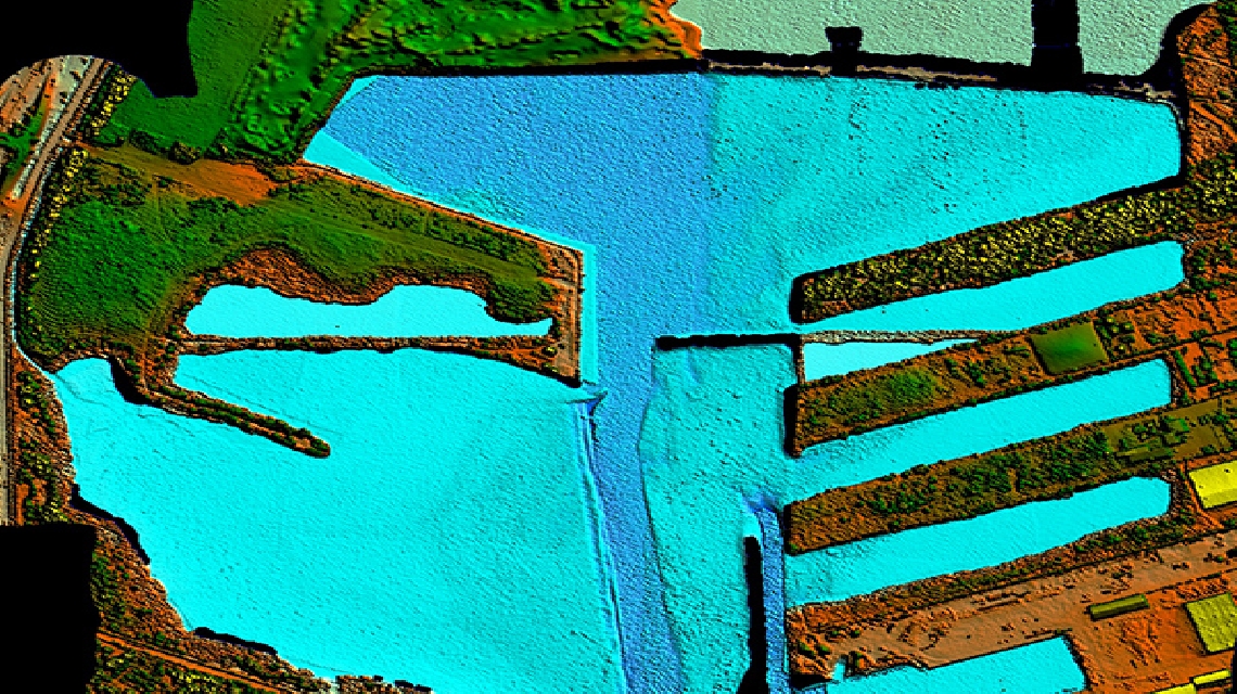
Environmental researchers and professionals interested in maximizing their project flexibility can discover more about the world’s first commercial multispectral lidar system, the innovative Optech Titan. Titan’s green and infrared laser channels capture both topographic and bathymetric data in a single flight, putting nearly a million points on the ground per second, and penetrating water bodies up to 15 m deep. Optech personnel will also have information about the multispectral lidar’s capability for automated land classification, including vegetation categorization and mapping permeable/impermeable surfaces.
Optech is also showing how lidar/sonar integration delivers fresh solutions for harbor and coastal mapping above and below the waterline. Collaboration between Optech and its Teledyne sister company RESON has combined the motion-compensated ILRIS terrestrial lidar scanner and the SeaBat T20-P multibeam echosounder. This highly integrated system surveys coastal features and the water bottom simultaneously, with operations and real-time data display delivered by the PDS 2000 software for in-field examination.
For more information, visit www.optech.com.
