")
Each year we see reports of increased flooding and king tide events, growing hurricane intensity and frequency, coastal erosion, and infrastructure impacted by changing shoreline. According to NASA’s Global Climate Change program, climate models predict more intense rainfall and increased coastal flood risk due to higher storm surge caused by rising seas. Sea level rise is increasing the frequency of coastal flooding, and communities face an urgent need to adapt. In recent years, flooding has become more frequent along the US coastline, as documented at 33 long-term measurement sites; every site measured has experienced an increase in coastal flooding since the 1950s (NOAA Technical Report NOS CO-OPS 086). The totality of these events points to a shifting climate and a warning bell for how we manage coastal zones and plan for their future.
Until recently, tracking flooding events and monitoring water levels were left to government experts and academic scientists who had insight into changing conditions over local, regional, and global scales. However, coastal changes are becoming more widespread, and there is a growing need for new data in different locations to fill large gaps in monitoring. Community managers, municipalities, and residents now have the ability to empower communities and help fill these gaps to quantify, inform, and prevent further loss in the face of accelerating climate change impacts.
Technology to the Rescue
Technology has shifted in the past several years, making widespread ocean and watershed observations accessible, accurate, and easy to understand. Continuous, unattended coastal observations are critical for improving predictive models and disaster preparedness. This means open data can bring municipalities, the federal government, and community-led initiatives together so that they can redirect preparedness, action, and information to place power with the people that are impacted most.
One way to do this is with affordable and durable sensors that provide real-time water-level monitoring using solar power and cell phone data networks. The growth in these platforms has allowed for improved coverage of information at the local level, embedded within the broader national sensor network of federally maintained gauges. Hohonu, is an example of one company taking this approach with low-cost sensors facilitating a step-change in local adaptation planning and implementation. Since 2019 the company has logged more than 850,000 hours of monitoring across 80 locations, operationalizing technologies launched from a research laboratory.
“The National Science Foundation award that accelerated a lot of this technology development was entitled ‘democratization of access to ocean observing technologies.’ This means bringing technologies and transferring capabilities to stakeholders who previously did not have access or experience working on quantifying and monitoring coastal problems,” said Hohonu co-founder Dr. Brian Glazer. “We wanted to demystify the entire technology stack from deploying sensors to understanding data and predictive analytics.”
Founded by Dr. Brian Glazer, University of Hawaii, along with a group of oceanographers and engineers, the Hohonu team started working on community projects along the shores of Hawaii to provide affordable and accurate data helping with restoration of ancient Hawaiian fishponds. From there, the company expanded to provide precision real-time monitoring and forecasting to help communities along the east coast of the United States prepare for and respond to emergency flooding and water quality monitoring.
Loko I’a Coastal Monitoring
After initial work with traditional Hawaiian fishpond restoration groups, Hohonu teamed up with two local organizations to outfit thirty fishponds with new sensor technology. The data will provide information to help fishpond practitioners tailor their practices and management decisions for shellfish, seaweed, or fish cultivation. For now, fishpond practitioners have to factor in the effects of erratic ocean conditions, unusual weather, and are often challenged with monitoring requirements for permitting restoration activities. Using hyperlocal sensing and forecasting, with the ability to collect long-term data, is critical for feeding information into models that will allow scientists to better predict ocean behavior and contribute to fishponds becoming a more sustainable food source.
North Carolina Tide Gauge
Hohonu partnered with the American Shore and Beach Preservation Association (ASBPA) in 2020, working with North Carolina coastal communities on the frontlines for accelerating threats from climate change. State and federal organizations, like the National Parks Service, NGOs, and private businesses, came together to explore how flooding is impacting the communities from both high tide nuisance flooding and large amounts of rainfall from hurricanes. Newly deployed tide gauges, in locations identified by communities responding to hyperlocal flooding, provide a real-time data stream that allows for the assessment of management strategies, evacuations, and warnings during flooding events, as well as the ability to look back and ground truth the data.
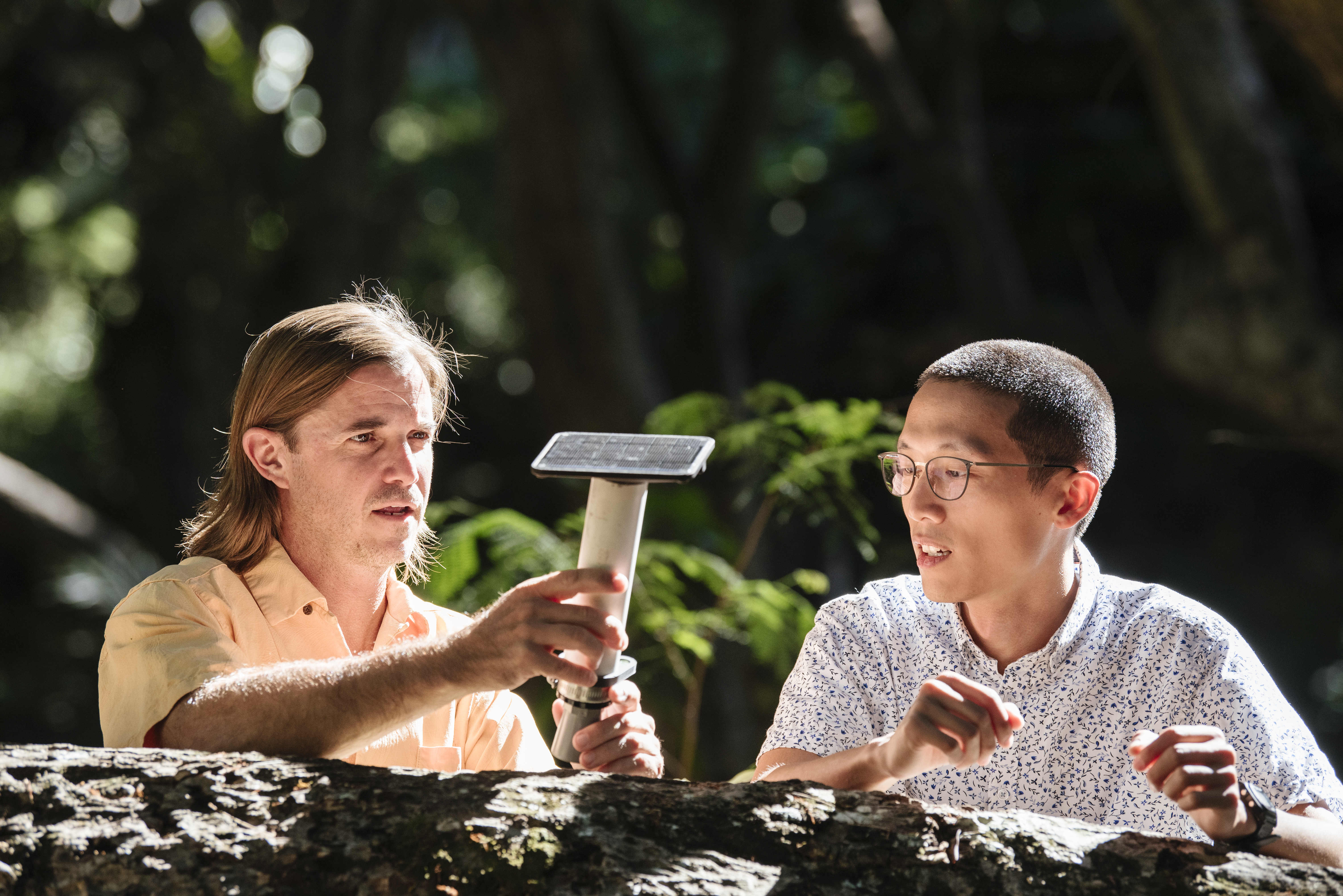
Hohonu Co-Founders Dr. Brian Glazer and Stanley Lio discuss the sensor they created together. (Image credit: Ijfke Ridgley)
Remote Coastal Monitoring
Designated as the most rural state in the US, Maine coastal communities face unique adaptation challenges as a result of their remoteness, isolation from central planning agencies, and limited resources. Water level measurements and observations of coastal flooding are sparse along Maine’s 5,000 miles of coastline, often leading to inaccurate tide predictions and unexpected flooding. Gulf of Maine Research Institute (GMRI) has been working with Hohonu and community partners to build technological, scientific, and community infrastructure supporting flood resilience along the coast of Maine to inform replicable practices along the complex coastlines with limited federal tide gauge data.
Future Collaboration
Investment into climate tech and ocean conservation is expanding thanks to the improved quality and quantity of startups focused on providing technological access to a growing number of markets and communities. Besides Hohonu, San Francisco-based startup companies Sofar Ocean and Saildrone have raised a combined $240 million from investors on the idea that more data leads to better outcomes.
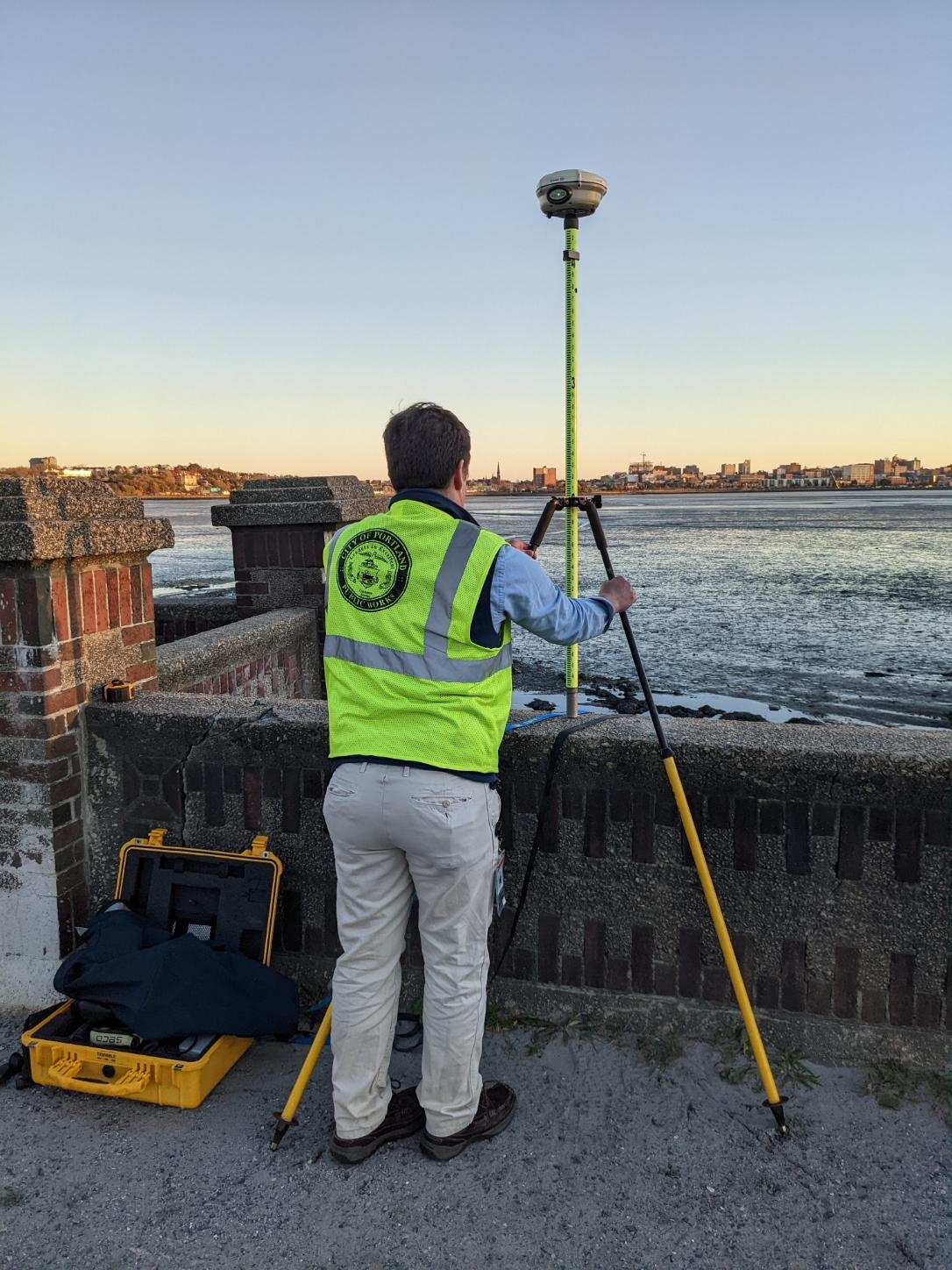
A city employee assists with the elevation survey of a newly installed sensor in Portland, ME. (Image credit: Dave Walsh)
“Coastal communities in areas that experience seasonally intense storms, not just along United States coastlines, but globally, are starting to appreciate and prioritize the need for community-accessible data and monitoring and are beginning to reassess future planning and safety in light of shifting baselines. New technology is making sensors more durable, affordable, and portable to democratize this type of information,” said Glazer. “We can scale anywhere, and with accelerating threats from climate change, everyone is going to need access to these kinds of data sets.”
Forever optimists, the Hohonu team wants to empower communities to understand the accelerating environmental changes that will impact coastlines, aquaculture businesses, real estate, and long-term city plans. The group has plans to expand its tide gauges to 300 locations in 2023. Ultimately, being able to adapt and improve requires the capability to measure, monitor, verify, and report. Using affordable and easy to understand data, the Hohonu team hopes to provide people the chance to be resilient and help restore their properties in the face of a changing climate.
To find out more about Hohonu Inc. and its data dashboard, visit: dashboard.hohonu.io
This feature appeared in Environment, Coastal & Offshore (ECO) Magazine's 2023 Deep Dive I special edition Ocean Observation, to read more access the magazine here.
