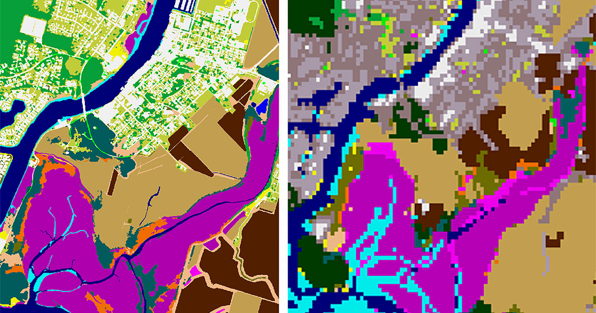
NOAA is announcing the availability of new, high-resolution land cover data—used to document key geographic and landscape features covering Earth’s surface—for coastal communities across the country. This new data can be used to improve planning for sea level rise, protect communities from flooding, inform wetland restoration projects and enable other activities to build climate resilience.
NOAA’s traditional land cover product featured a 30-meter resolution. The new land cover data has one-meter resolution, making the product 900 times more detailed. Land cover data is frequently used in coastal management applications and is the backbone of key predictive models for sea level rise and stormwater management. For each location, land cover data layers focused on impervious surfaces, tree canopy and water features are presented. The data also allow year-to-year comparison, so communities can document changes in land cover and associated impacts.
“The higher resolution product is something local leaders have been asking about for years, but it is often prohibitively expensive for communities to acquire this type of data,” says Rick Spinrad, Ph.D., NOAA administrator. “Technological advances and funding supplied through the Biden-Harris Administration's Bipartisan Infrastructure Law are allowing NOAA to acquire comprehensive land cover data to meet the needs of coastal communities.”
For this project, $8 million was provided to NOAA from the Bipartisan Infrastructure Law. Partnerships with the private sector and other organizations also contributed to this effort. The funding allowed for the bulk purchase of land cover data from private sector vendors, which means coastal communities previously unable to obtain these important information resources now have equal access.
This announcement is particularly important for Alaska, as the state has never had widespread high-resolution land cover data.
“This high-resolution data is leveling the playing field for all coastal states,” says Nate Herold, land cover expert at NOAA’s Office for Coastal Management. “But nowhere are the benefits more obvious than in Alaska. We are very excited to be a part of this project and support Alaska’s efforts to better understand their coastal land cover.”
High-resolution land cover data can support many critical applications to understand and address coastal change, such as:
- Assessing flood risk.
- Developing predictive models.
- Understanding land use impacts.
- Documenting land cover change.
- Modeling for stormwater management.
- Fostering tree equity.
- Hydrodynamic modeling.
- Site mapping for development and infrastructure.
- Studying urban forestry.
- Wetland mapping.
- Wetland restoration monitoring.
- Monitoring urban heat islands.
The data is available for download from NOAA’s Digital Coast website.


