Fugro has won a contract to capture bathymetric lidar of Northern Ireland’s coastline as part of a project from the Department of Agriculture, Environment and Rural Affairs (DAERA) to create a detailed 3D elevation model of the coast.
The nearshore survey will acquire satellite-derived bathymetry (SDB) data and, for the first time in the UK, Fugro will use their innovative Rapid Airborne Multibeam Mapping System (RAMMS) to collect lidar bathymetry data.
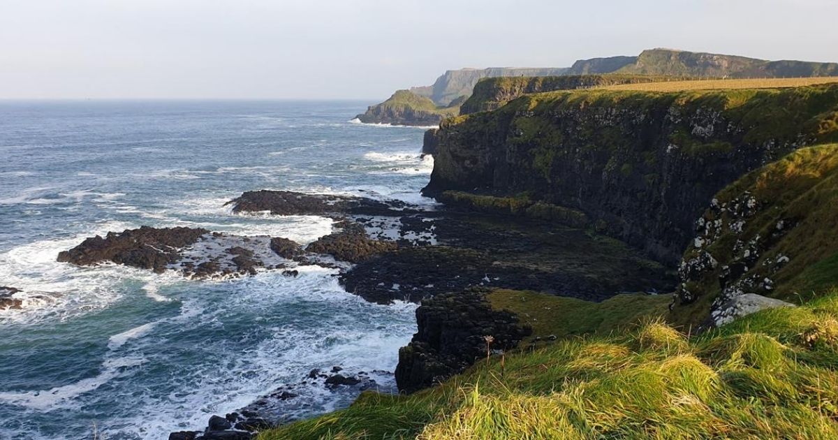
Coastal flooding is a global concern due to rising sea levels and an increase in extreme storm events. To identify areas most at risk of coastal erosion and marine flooding, and those that may be under future threat, DAERA has commissioned a baseline study of Northern Ireland’s 763 km of coastline. The resulting 3D model will help to inform policy makers, coastal managers, terrestrial planners, marine planners and other interested stakeholders.
Work on the project started this month and Fugro’s hydrographic experts are acquiring the SDB data in cooperation with EOMAP, the world’s leading company for optical remote sensing of aquatic environments, using their remote sensing technology to map the seabed along the entire coastline to a depth of approximately 10 m. They will also mobilize Fugro’s lightweight RAMMS sensor, which can be operated from small aircraft or an uncrewed aerial vehicle (UAV), to capture high-resolution data of a pilot area to depths of three times the visual water clarity. For nearshore projects, these technologies have many advantages over the multibeam echosounder systems used on traditional survey vessels, including faster rates of data capture, less time spent on site, and reduced technical and safety risks.
Huug Haasnoot, Fugro’s Director for Land Asset Integrity in Europe and Africa, said: “Our remote sensing solutions are ideal for mapping complex coastlines and will greatly add to DAERA’s understanding of coastal erosion and wave action in Northern Ireland. This project is also a great opportunity to utilize our RAMMS technology, already proven throughout North America and the Caribbean, for the first time in UK to capture high-resolution bathymetry data.”
For more information, click here.
