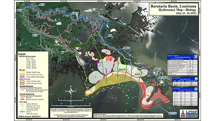
The Lake Pontchartrain Basin Foundation’s (LPBF) Hydrocoast program collects a number of environmentally dynamic datasets in an effort to monitor the condition (salinity component) of the basin’s estuaries. Wind, rain, tides and freshwater influx from streams and diversions are variables that cause salinity fluctuation, and play a vital role in the health of the basin’s estuaries.
The Hydrocoast program monitors these variables over a seven day period and produces bi-monthly map products showing the movement of water and salinity across the basin (using field data, MODIS, satellite imagery, precipitation data, wind data and permanent monitoring stations in the basin such as USGS buoys, Coastwide Reference Monitoring System (CRMS), etc.). As a tool, these map products can be used for scientific discussion, restoration planning between state and federal agencies, and by the commercial and recreational fishery community.
The Barataria Hydrocoast Maps will be surveyed and released every eight weeks on the following schedule:
Click here to sign up to receive Hydrocoast Maps for Pontchartrain and Barataria Basins by Email. Learn more here.


