")
The above-normal 2023 Atlantic hurricane season, which officially ends on Nov. 30, was characterized by record-warm Atlantic sea surface temperatures and a strong El Nino.
The Atlantic basin saw 20 named storms in 2023, which ranks fourth for the most-named storms in a year since 1950. Seven storms were hurricanes and three intensified to major hurricanes. An average season has 14 named storms, seven hurricanes and three major hurricanes.
Hurricane Idalia was the only US landfalling hurricane in 2023. It made landfall as a category-3 hurricane on Aug. 30 near Keaton Beach, Florida, causing storm surge inundation of 7 to 12 feet and widespread rainfall flooding in Florida and throughout the southeast.
Tropical Storm Ophelia made landfall as a strong tropical storm with 70 mph winds on Emerald Isle, North Carolina, on Sept. 23 causing widespread heavy rainfall, gusty winds and significant river and storm surge flooding in portions of eastern North Carolina.
Hurricane Lee made landfall as a post-tropical cyclone in Nova Scotia, Canada, on Sept. 16. Swells generated by Lee caused dangerous surf and rip currents along the entire US Atlantic coast. Strong winds with hurricane‑force gusts from Lee caused extensive power outages in Maine and in parts of Canada.
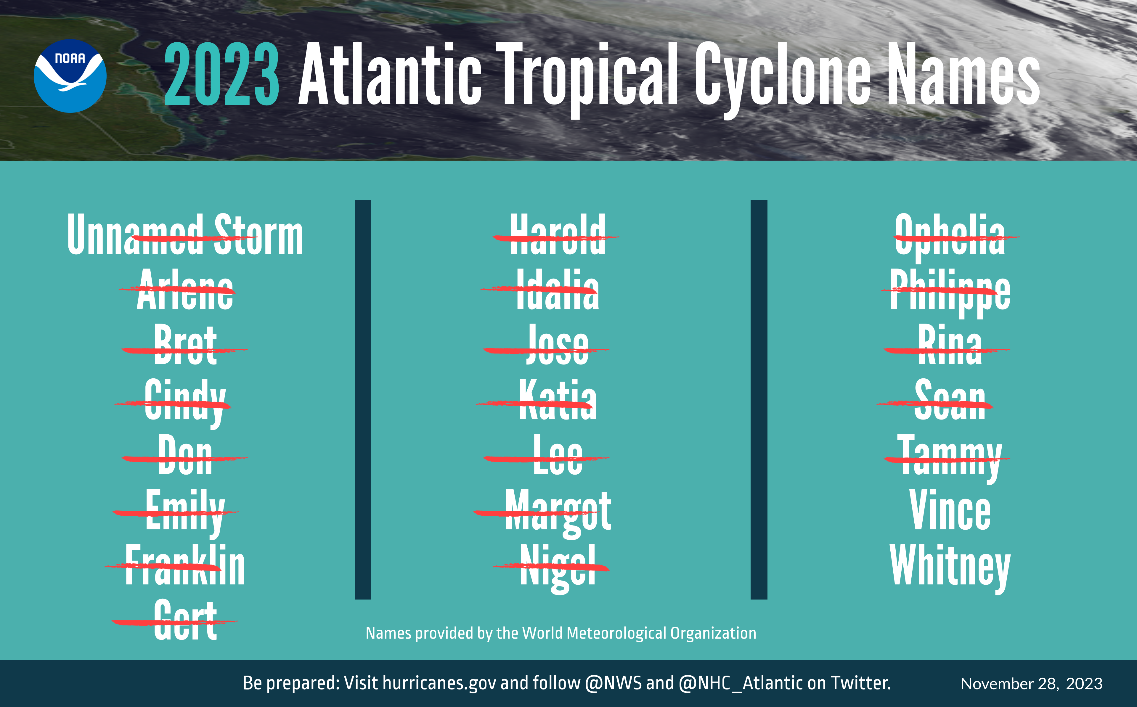 The Atlantic basin saw 20 named storms in 2023, ranking 4th for most-named storms in a year. Tropical cyclone names are selected by the World Meteorological Organization. (Image credit: NOAA)
The 2023 Atlantic seasonal activity fell within the NOAA Climate Prediction Center’s predicted ranges for named storms and hurricanes in the August updated outlook.
“The Atlantic basin produced the most named storms of any El Nino influenced year in the modern record,” said Matthew Rosencrans, lead hurricane forecaster at NOAA’s Climate Prediction Center—a division of NOAA’s National Weather Service. “The record-warm ocean temperatures in the Atlantic provided a strong counterbalance to the traditional El Nino impacts.”
The eastern Pacific basin hurricane season was also above normal with 17 named storms, of which 10 were hurricanes and eight of those major hurricanes. From Aug. 16 to 21, Tropical Storm Hilary brought widespread heavy rainfall and flooding to Southern California, with some areas receiving up to 600% of their normal August rainfall. Hilary resulted in the first ever issuance of Tropical Storm Watches and Warnings for the Southern California coastline by NOAA’s National Hurricane Center. In addition, the Center distributed key hazard focused messages for Hilary in Spanish through the agency’s new language translation project.
Hurricane Otis made landfall near Acapulco, Mexico, on Oct. 25 as a category-5 hurricane with sustained winds of 165 mph. Otis holds the record as the strongest landfalling hurricane in the eastern Pacific after undergoing rapid intensification in which wind speeds increased by 115 mph in 24 hours.
The central Pacific basin had a near-normal season with four tropical systems traversing the basin. Hurricane Dora, a category-4 storm, passed south of Hawaii in early August, marking the first major hurricane in the central Pacific basin since 2020. The strong gradient between a high pressure system to the north and Dora to the south was a contributing factor to the wind-driven, fast-moving wildfires in Hawaii.
Hurricane season activity for the eastern Pacific and central Pacific fell within predicted ranges.
“Another active hurricane season comes to a close where hazards from the storms extended well inland from the landfall location,” said NOAA National Hurricane Center Director Michael Brennan, Ph.D. “This underscores the importance of having a plan to stay safe whether you're at the coast or inland.”
NOAA’s new Hurricane Analysis and Forecast System helped National Hurricane Center forecasters improve intensity predictions this season. NOAA’s intensity forecasts showed Hurricane Idalia as a major hurricane impacting the coast of Florida as early as Aug. 28. This lead time gave those in threatened areas more time to prepare and respond, and there were no storm surge fatalities from Idalia despite storm surge inundation of as much as 12 feet above ground level in some areas. Further, extending the National Hurricane Center’s tropical weather outlook product from five to seven days, this season provided emergency managers more time to prepare and stage resources before a storm.
NOAA’s Hurricane Research and Response
This season, NOAA Hurricane Hunter aircraft flew 468 mission hours to collect atmospheric data that is critical to hurricane forecasting and research, passing through the eye of a hurricane 120 times and deploying over 1,400 scientific instruments. Since 2020 through this 2023 season, NOAA’s two Lockheed WP-3D Orion have flown 40% more hurricane mission flights than the preceding four years (2016–2019).
NOAA celebrated the first operational launch of a Black Swift drone from a NOAA WP-3D Orion to gather atmospheric data in and around Hurricane Tammy. Further, the first successful coordination of a low-flying drone (Anduril’s Altius 600), atmospheric profilers (dropsondes), and ocean profilers (bathythermographs) also launched from a NOAA WP-3D Orion. Observations and information from these deployments are being evaluated to determine the feasibility of using the data to help with hurricane forecasting in the future.
NOAA’s Beechcraft King Air flew 28 mission hours to collect aerial imagery used for emergency response after Hurricanes Idalia and Lee. Following Hurricane Idalia, NOAA's National Ocean Service provided support to enable safe maritime navigation, gathering survey data for 36.8 linear nautical miles and identifying 29 potential obstructions along Florida’s coastal waterways. NOAA also worked to identify hazards caused by capsized vessels, damaged docks and piers, parts of homes and other types of marine debris, and shared findings with Florida's debris task force following Hurricane Idalia.
NOAA’s geostationary and polar-orbiting weather satellites provided vital information for monitoring and forecasting the hurricanes and tropical weather that threatened our lives and property this season. Forecasters used one-minute geostationary satellite imagery to assess structure changes during the rapid intensity of storms such as Idalia, Lee, and Otis.
NOAA’s polar-orbiting satellites orbit the Earth from pole to pole 14 times a day, providing full global coverage twice daily. Throughout the hurricane season, these satellites made sophisticated and precise observations of the atmosphere, ocean and land, which were critical to developing daily and 3–5 day forecasts.
The National Hurricane Center and Central Pacific Hurricane Center Tropical Cyclone Reports for 2023, including synoptic history, meteorological statistics, casualties and damages, and the post-analysis best track, will be published on the 2023 Tropical Cyclone Report site in March 2024.
NOAA’s Climate Prediction Center, a division of the National Weather Service, will issue its 2024 hurricane seasonal outlook in May 2024. The hurricane season officially begins on June 1.